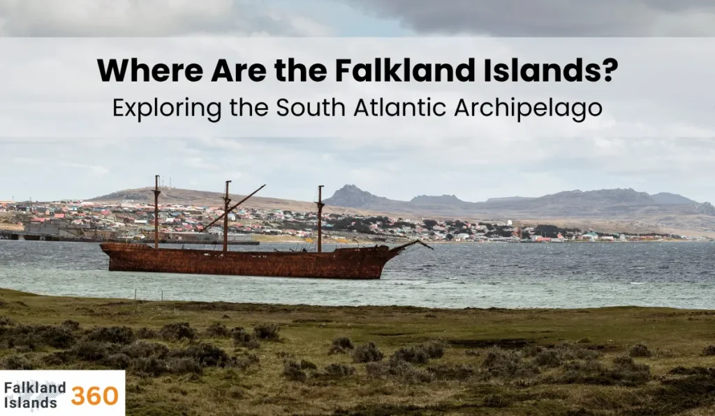
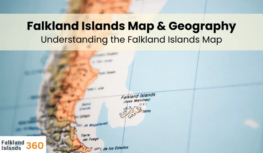
The Falkland Islands are a group of islands in the South Atlantic Ocean. On a falkland islands map, you can see two main landmasses—East Falkland and West Falkland—along with many smaller islands. This remote, windswept territory lies roughly 300–500 miles east of Argentina. The capital Stanley is on the northeastern coast of East Falkland.
Understanding the Falkland Islands Map
Looking at a falkland islands map, you will notice two large islands and a scatter of many small islands. The largest are East Falkland and West Falkland. East Falkland is home to most of the population and the capital, Stanley. West Falkland is slightly smaller and very rural. Between them runs the Falkland Sound, a sea channel about 20 kilometers wide.
Other features on the map include hundreds of smaller islets. For example, Weddell Island, Pebble Island, Saunders Island, and Carcass Island are some named islands. They are often shown as tiny dots on detailed maps.
The map also highlights the islands’ jagged coastline, with bays and inlets on nearly every side. East Falkland’s shape includes two large peninsulas and the southern region called Lafonia. Maps will mark these peninsulas and the narrow isthmus at Lafonia.
Geography and Climate of Falkland Islands
The Falkland Islands lie just south of the temperate zone. The climate is cold and oceanic, with strong westerly winds common throughout the year. Summers are mild (around 15°C or 59°F) and winters are cool (around 4°C or 39°F). Rain falls frequently (over half the days of the year), and snow can occur in the colder months.
Terrain and Landscape
The islands are mostly rocky and hilly. The highest point is Mount Usborne (705 meters or 2,313 feet) on East Falkland. East Falkland has the Wickham Heights range, and West Falkland has the Hornby Hills range. Between the hills lie low grasslands and peat bogs.
Key terrain features:
- Hills and Mountains: Rugged hills run across the islands, with Mount Usborne as the tallest peak.
- Plains and Bogs: Much of the land is open grassland or peat bog, with few trees.
- Coastline: The coast is deeply indented with many bays, inlets, and natural harbors (for example, Berkeley Sound on East Falkland).
Size and Population of Falkland Islands
The Falkland Islands cover about 12,000 square kilometers (4,700 square miles). Despite this area, the population is very small (around 3,400 people as of 2021). Stanley, the capital on East Falkland, holds most of the residents (roughly three-quarters). Other settlements are tiny farming villages, so the islands are very sparsely populated.
Key Map Highlights of Falkland Islands
- Two main islands: East Falkland and West Falkland (about 91% of the land area).
- Capital: Stanley on East Falkland (northeast coast).
- Hundreds of smaller islands: Over 700 small islets in the archipelago.
- Climate: Cold oceanic; frequent winds and rain.
- Terrain: Mostly rocky hills and grassland (no forests).
Conclusion
In summary, a falkland islands map is a guide to a remote archipelago with two main islands and many smaller ones. The map highlights the scattered islands, rugged coastline, and shows where Stanley, the capital, is located. The geography of the Falklands includes cool, windy weather, hilly terrain with no forests, and a very small population. Studying the falkland islands map and geography helps visitors and learners understand this windswept group of islands in the South Atlantic.
Frequently Asked Questions
What does the Falkland Islands map look like?
A falkland islands map shows two large islands (East Falkland and West Falkland) plus hundreds of tiny surrounding islets. The capital Stanley is marked on the northeast coast of East Falkland.
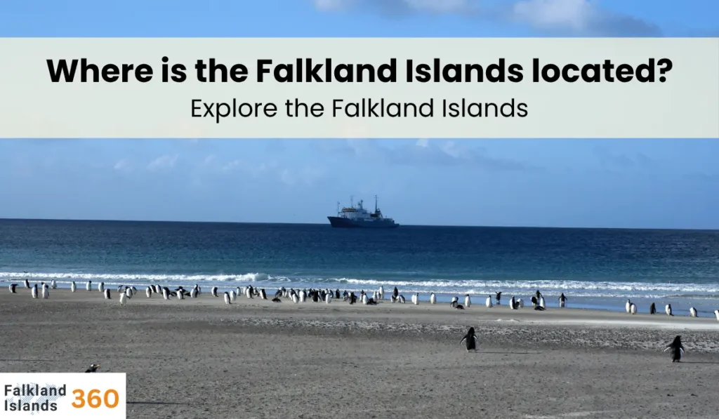
Where are the Falkland Islands located?
They are in the South Atlantic Ocean, about 300–500 miles east of southern Argentina and the tip of South America.
What are the main islands of the Falklands?
The two main islands are East Falkland and West Falkland. East Falkland is larger and holds most settlements (including the capital), while West Falkland is slightly smaller.
What is the capital of the Falkland Islands?
The capital is Stanley (also called Port Stanley), located on East Falkland. It is the largest town with most islanders and is often marked prominently on Falkland Islands maps.
What is the climate of the Falkland Islands?
The climate is cool and oceanic. Summers average around 15°C (59°F) and winters around 4°C (39°F). It is often windy, with frequent rain or drizzle throughout the year.
How large are the Falkland Islands?
The islands cover about 12,000 square kilometers (4,700 square miles) in total. The population is very small (around 3,400 people), so the islands are very sparsely populated.